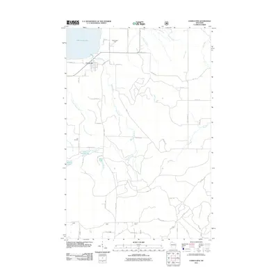
2011 Map of Cornucopia
USGS Topo · Published 2011About this map
Cornucopia sits as a northern harbor on the shores of Lake Superior, where the Siskiwit River meets the bay. This 2011 survey illustrates a landscape defined by its waterways, from the branching Sand River in the east to the intricate paths of Lost Creek Number One and Lost Creek Number Two further west. The interior reveals a quiet network of rural roads such as Happy Hollow Rd and Old Cemetery Rd, reflecting the area's enduring local structure.
Find a feature on this map
55 named features on this map. Tap any name to fly to it.
Don’t see what you’re looking for? This feature index may not catch every label — zoom into the map to look around manually.
Map Details
Editions of this 2011 Cornucopia Map
This is the sole edition of this map. No revisions or reprints were ever made.
Other maps of this area

1941 · Bayfield
USGS Topo · 1:48,000

1942 · Ashland
USGS Topo · 1:48,000

1944 · Moquah
USGS Topo · 1:48,000

1944 · Cornucopia
USGS Topo · 1:48,000

1946 · Cornucopia
USGS Topo · 1:48,000

1946 · Bayfield
USGS Topo · 1:48,000

1947 · Moquah
USGS Topo · 1:48,000

1947 · Ashland
USGS Topo · 1:48,000

1953 · Ashland
USGS Topo · 1:250,000

1958 · Ashland
USGS Topo · 1:250,000