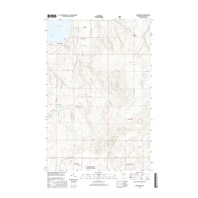
2015 Map of Cornucopia
USGS Topo · Published 2015About this map
Cornucopia sits as a central hub on the northern edge of this Wisconsin coastline, where the Siskiwit River empties into the cold waters of Siskiwit Bay on Lake Superior. The landscape transitions from the developed grid of Superior St and Erie Ave to the heavily forested interior of the Chequamegon National Forest. The map reveals a complex network of waterways, including Siskiwit Lake, Little Siskiwit Lake, and Leach Lake, which suggest a terrain shaped by post-glacial drainage. In the southern half of the quadrangle, numerous forest roads like Fr 439 and Fr 428 penetrate the timberlands, highlighting the area's significance for forestry and recreation. Local history is anchored by the Bell Cem and the Cornucopia Field, reflecting the long-standing community footprint at this northern tip of Bayfield County.
Find a feature on this map
52 named features on this map. Tap any name to fly to it.
Don’t see what you’re looking for? This feature index may not catch every label — zoom into the map to look around manually.
Map Details
Editions of this 2015 Cornucopia Map
This is the sole edition of this map. No revisions or reprints were ever made.
Other maps of this area

1941 · Bayfield
USGS Topo · 1:48,000

1942 · Ashland
USGS Topo · 1:48,000

1944 · Moquah
USGS Topo · 1:48,000

1944 · Cornucopia
USGS Topo · 1:48,000

1946 · Cornucopia
USGS Topo · 1:48,000

1946 · Bayfield
USGS Topo · 1:48,000

1947 · Moquah
USGS Topo · 1:48,000

1947 · Ashland
USGS Topo · 1:48,000

1953 · Ashland
USGS Topo · 1:250,000

1958 · Ashland
USGS Topo · 1:250,000