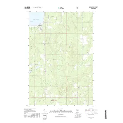
2018 Map of Cornucopia
USGS Topo · Published 2018About this map
Cornucopia sits along the southern shoreline of Lake Superior, serving as a focal point for this coastal portion of Bayfield County. The landscape is defined by the drainage systems of the Siskiwit River, Sand River, and Saxine Cr, which flow toward Siskiwit Bay. This northern Wisconsin terrain transitions from the harbor at Cornucopia into the densely wooded interior of the Chequamegon National Forest, where numerous forest roads like FR 104 and FR 256 provide access to the timberlands.
Find a feature on this map
41 named features on this map. Tap any name to fly to it.
Don’t see what you’re looking for? This feature index may not catch every label — zoom into the map to look around manually.
Map Details
Editions of this 2018 Cornucopia Map
This is the sole edition of this map. No revisions or reprints were ever made.
Other maps of this area
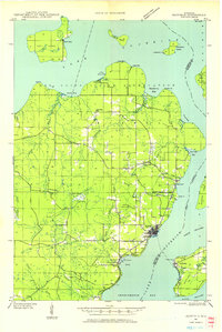
1941 · Bayfield
USGS Topo · 1:48,000
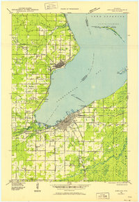
1942 · Ashland
USGS Topo · 1:48,000
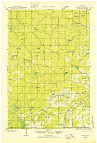
1944 · Moquah
USGS Topo · 1:48,000
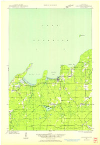
1944 · Cornucopia
USGS Topo · 1:48,000
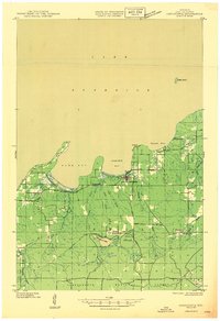
1946 · Cornucopia
USGS Topo · 1:48,000
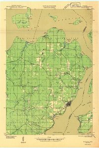
1946 · Bayfield
USGS Topo · 1:48,000
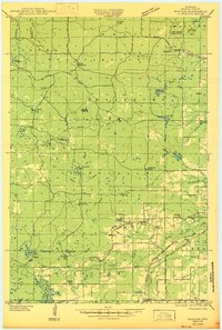
1947 · Moquah
USGS Topo · 1:48,000
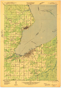
1947 · Ashland
USGS Topo · 1:48,000

1953 · Ashland
USGS Topo · 1:250,000
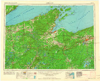
1958 · Ashland
USGS Topo · 1:250,000