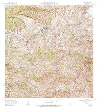
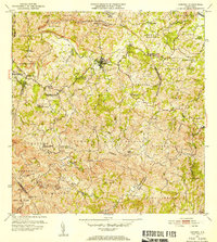
1972 Map of Corozal
USGS Topo · Published 1974About this map
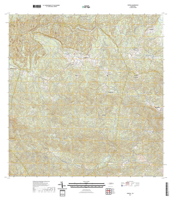
Corozal serves as the central hub of this inland Puerto Rican landscape, surrounded by a dense network of barrios and steep terrain. The 1972 survey highlights the educational infrastructure of the region, specifically identifying several "Segunda Unidad" schools like Escuela Segunda Unidad de Palmarejo and Escuela Segunda Unidad de Cienegueta, which reflect mid-century efforts to provide vocational and academic training in rural areas. Agriculture and land management are anchored by the Estación Experimental Agrícola, while family-named settlements like Ramón Pabón and Berríos indicate localized kinship clusters. The drainage system is remarkably intricate, defined by the winding Río de la Plata and uniquely named waterways such as Quebrada de los Muertos and Quebrada de las Minas, suggesting a landscape shaped by both water and mineral history near the prominent Cerro Santa Bárbara.
Find a feature on this map
68 named features on this map. Tap any name to fly to it.
Don’t see what you’re looking for? This feature index may not catch every label — zoom into the map to look around manually.
Map Details
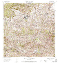
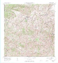
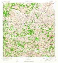
Editions of this 1972 Corozal Map
3 editions found
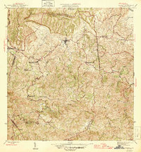
Historical Maps of Corozal Through Time
7 maps found
Featured Locations
- Reparto Pérez, Toa Alta
- Sunflower Valley, Toa Alta
- Los Pelusa, Naranjito
- Corozal, Corozal
- Sector Rolo Barrera, Corozal