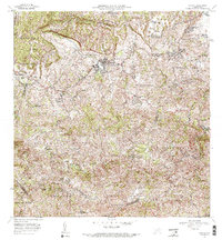
1972 Map of Corozal
USGS Topo · Published 1974About this map
Corozal serves as the focal point of this 1972 survey, situated within a landscape defined by deeply dissected valleys and the drainage of the Río Cibuco and Río Manatí. The settlement pattern follows the intricate network of ridges and river valleys, highlighting the agricultural and educational infrastructure of the region. Notable local landmarks include the Estación Experimental Agrícola and several localized educational centers such as the Escuela Segunda Unidad de José Barrenas Martínez.
Find a feature on this map
48 named features on this map. Tap any name to fly to it.
Don’t see what you’re looking for? This feature index may not catch every label — zoom into the map to look around manually.
Map Details
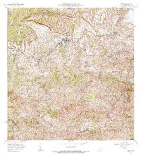
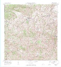
Editions of this 1972 Corozal Map
3 editions found
Other maps of this area

1940 · Vega Alta
USGS Topo · 1:30,000

1941 · Bayamon
USGS Topo · 1:30,000

1942 · Manati
USGS Topo · 1:30,000

1946 · Corozal
USGS Topo · 1:30,000

1946 · Barranquitas
USGS Topo · 1:30,000

1946 · Ciales
USGS Topo · 1:30,000

1946 · Vega Alta
USGS Topo · 1:30,000

1946 · Comerio
USGS Topo · 1:30,000

1946 · Naranjito
USGS Topo · 1:30,000

1946 · Manati
USGS Topo · 1:30,000
Featured Places
- Corozal
- Sunflower Valley, Toa Alta
- Los Pelusa, Naranjito
- Reparto Pérez, Toa Alta
- Sector Rolo Barrera, Corozal