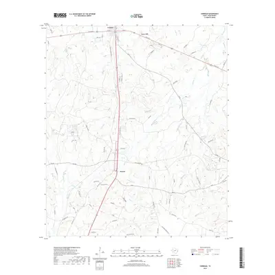
2019 Map of Corrigan
USGS Topo · Published 2019About this map
Corrigan serves as a central hub in this Polk County landscape, where the intersection of regional thoroughfares and a dense network of creeks defines the settlement pattern. Moving south, the community of Moscow anchors the corridor, while smaller established locales like Snow Hill and the area near Potosi dot the surrounding piney woods. The terrain is deeply etched by watercourses including Long King Cr, Brushy Cr, and Jones Cr, which have historically influenced the placement of rural homesteads and agricultural boundaries. Genealogists may find interest in the documented location of Burch Cem, situated west of the main transit lines. The map also records numerous local family-named roads such as Howell Rd, Maxey Rd, and Jackstation Rd, reflecting the generational footprint of East Texas families in the transition between wooded hills and creek bottoms.
Find a feature on this map
79 named features on this map. Tap any name to fly to it.
Don’t see what you’re looking for? This feature index may not catch every label — zoom into the map to look around manually.
Map Details
Editions of this 2019 Corrigan Map
This is the sole edition of this map. No revisions or reprints were ever made.
Other maps of this area
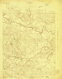
1927 · Lufkin 4-c
USGS Topo · 1:24,000
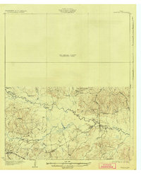
1932 · Manning
USGS Topo · 1:62,500

1953 · Palestine
USGS Topo · 1:250,000

1954 · Beaumont
USGS Topo · 1:250,000
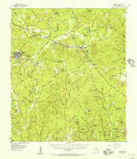
1955 · Camden
USGS Topo · 1:62,500
1955 · New Willard
USGS Topo · 1:62,500

1957 · Beaumont
USGS Topo · 1:250,000

1957 · Palestine
USGS Topo · 1:250,000
1963 · Trevat
USGS Topo · 1:24,000
1963 · Wakefield
USGS Topo · 1:24,000