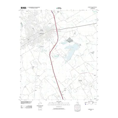
2010 Map of Corsicana
USGS Topo · Published 2010About this map
Corsicana serves as the focal point of this 2010 survey, showcasing the established grid of the Corsicana Commercial Historic District and the West Side Historic District. The landscape reflects a legacy of energy production, dominated by the sprawling Corsicana Oil Field to the east and the Angus Oil Field and Powell Oil Field to the south. These industrial zones are interspersed with several community landmarks, including the Oakwood Cemetery and Hamilton Beeman Cemetery, which provide significant points of interest for local genealogy.
Find a feature on this map
84 named features on this map. Tap any name to fly to it.
Don’t see what you’re looking for? This feature index may not catch every label — zoom into the map to look around manually.
Map Details
Editions of this 2010 Corsicana Map
This is the sole edition of this map. No revisions or reprints were ever made.
Other maps of this area

1954 · Dallas
USGS Topo · 1:250,000

1954 · Waco
USGS Topo · 1:250,000

1955 · Waco
USGS Topo · 1:250,000

1958 · Dallas
USGS Topo · 1:250,000

1959 · Powell
USGS Topo · 1:24,000

1960 · Streetman
USGS Topo · 1:24,000

1961 · Chatfield
USGS Topo · 1:24,000

1962 · Bazette
USGS Topo · 1:24,000

1962 · Emhouse
USGS Topo · 1:24,000

1963 · Richland
USGS Topo · 1:24,000