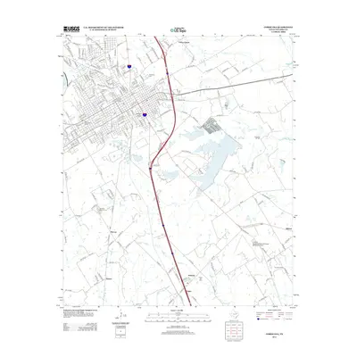
2012 Map of Corsicana
USGS Topo · Published 2012About this map
The Corsicana Commercial Historic District and the West Side Historic District form the heart of this Navarro County landscape, reflecting the city's long-standing role as a regional center. The map documents a diverse mix of educational and social institutions, from the campus of Navarro Coll to the Twilight Home and Fleming Boys Camp. The industrial character of the area is defined by its energy history, with the Corsicana Oil Field, Angus Oil Field, and Powell Oil Field punctuating the rural surroundings. Water features like Lake Halbert and Beaton Lake dominate the central topography, while small settlements such as Retreat, Angus, and Mildred are scattered across the terrain. Genealogists will find significant value in the documentation of several local burial sites, including Oakwood Cem, Woodland Cem, and Hamilton Beeman Cem.
Find a feature on this map
222 named features on this map. Tap any name to fly to it.
Don’t see what you’re looking for? This feature index may not catch every label — zoom into the map to look around manually.
Map Details
Editions of this 2012 Corsicana Map
This is the sole edition of this map. No revisions or reprints were ever made.
Other maps of this area

1954 · Dallas
USGS Topo · 1:250,000

1954 · Waco
USGS Topo · 1:250,000

1955 · Waco
USGS Topo · 1:250,000

1958 · Dallas
USGS Topo · 1:250,000

1959 · Powell
USGS Topo · 1:24,000

1960 · Streetman
USGS Topo · 1:24,000

1961 · Chatfield
USGS Topo · 1:24,000

1962 · Bazette
USGS Topo · 1:24,000

1962 · Emhouse
USGS Topo · 1:24,000

1963 · Richland
USGS Topo · 1:24,000