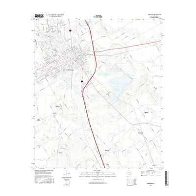
2016 Map of Corsicana
USGS Topo · Published 2016About this map
Corsicana serves as the focal point of this 2016 survey, showcasing a dense grid of streets and residential developments that transition into the sprawling agricultural and riparian lands of Navarro County. The landscape is defined by its water management systems, including the large expanse of Lake Halbert, Beaton Lake, and the industrial-sounding Mobil-Pipeline Lake. These reservoirs, along with Elm Creek and Post Oak Creek, highlight the vital role of water resources in supporting the regional economy and local infrastructure.
Find a feature on this map
93 named features on this map. Tap any name to fly to it.
Don’t see what you’re looking for? This feature index may not catch every label — zoom into the map to look around manually.
Map Details
Editions of this 2016 Corsicana Map
This is the sole edition of this map. No revisions or reprints were ever made.
Other maps of this area

1954 · Dallas
USGS Topo · 1:250,000

1954 · Waco
USGS Topo · 1:250,000

1955 · Waco
USGS Topo · 1:250,000

1958 · Dallas
USGS Topo · 1:250,000

1959 · Powell
USGS Topo · 1:24,000

1960 · Streetman
USGS Topo · 1:24,000

1961 · Chatfield
USGS Topo · 1:24,000

1962 · Bazette
USGS Topo · 1:24,000

1962 · Emhouse
USGS Topo · 1:24,000

1963 · Richland
USGS Topo · 1:24,000