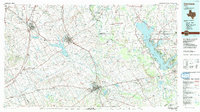
2022 Map of Corsicana
USGS Topo · Published 2022About this map
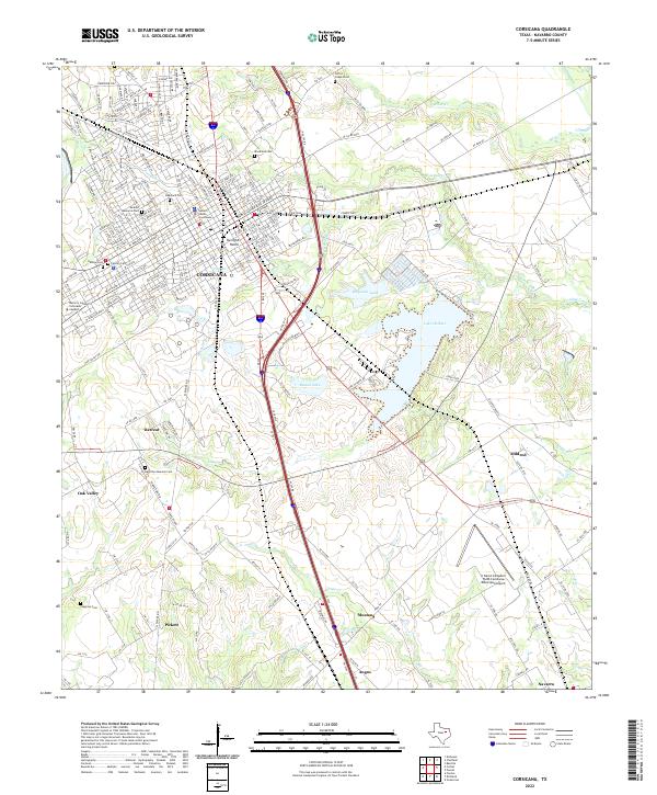
Corsicana serves as the regional hub in this Navarro County landscape, where the traditional downtown grid centered on the Navarro County Courthouse transitions into the contemporary sprawl of the Navarro College Corsicana Campus. The town's genealogy is preserved in numerous burial grounds, including the Hebrew Cem, Calvary Cem, and Oakwood Cem, which sit alongside established residential corridors like Interurban Blvd. To the south, the terrain opens into a network of small settlements and family landmarks, such as Retreat and the Hamilton Beeman Cem.
Find a feature on this map
255 named features on this map. Tap any name to fly to it.
Don’t see what you’re looking for? This feature index may not catch every label — zoom into the map to look around manually.
Map Details
Editions of this 2022 Corsicana Map
This is the sole edition of this map. No revisions or reprints were ever made.
Historical Maps of Pettys Chapel Through Time
3 maps found