
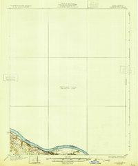
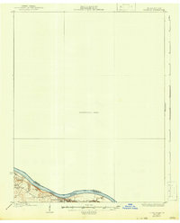
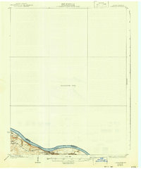
1931 Map of Corydon
USGS Topo · Published 1931About this map
Brandenburg and the winding course of the Ohio River dominate the southern margin of this unique survey. While much of the sheet is designated as a Preliminary Edition Unsurveyed Area, the detailed southern sliver provides a rare look at the Kentucky-Indiana borderlands before mid-century development. The river landscape is characterized by prominent elevations like Hamilton Hill and numerous drainage points including Flippins Run and Doe Run. Local history and genealogy interests are served by the inclusion of the Oak Grove Sch and the small settlement of Moravia, providing a localized view of rural life along the river during the late 1920s.
Find a feature on this map
12 named features on this map. Tap any name to fly to it.
Don’t see what you’re looking for? This feature index may not catch every label — zoom into the map to look around manually.
Map Details
Editions of this 1931 Corydon Map
4 editions found
Other maps of this area

1909 · Kosmosdale
USGS Topo · 1:48,000

1912 · Kosmosdale
USGS Topo · 1:62,500

1928 · Hardinsburg
USGS Topo · 1:48,000

1931 · Hardinsburg
USGS Topo · 1:62,500

1936 · Vine Grove
USGS Topo · 1:62,500

1939 · Georgetown
USGS Topo · 1:24,000

1941 · Ekron
USGS Topo · 1:62,500

1943 · Vine Grove
USGS Topo · 1:62,500

1944 · Corydon West
USGS Topo · 1:24,000

1946 · Rock Haven
USGS Topo · 1:24,000