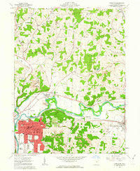
1961 Map of Coshocton
USGS Topo · Published 1963About this map
The Tuscarawas River and Walhonding River converge here to form the Muskingum River, creating a vital water junction for the city of Coshocton. In the early 1960s, the landscape around this river fork reflects a transition from traditional agriculture to heavy industrial extraction, evidenced by numerous strip mines cutting through the hills of White Eyes and Lafayette. The urban core of Coshocton is well-defined, showing the layout of the city near South Lawn Cemetery and the County Fairground.
Find a feature on this map
65 named features on this map. Tap any name to fly to it.
Don’t see what you’re looking for? This feature index may not catch every label — zoom into the map to look around manually.
Map Details
Editions of this 1961 Coshocton Map
4 editions found
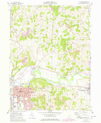
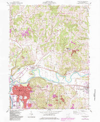
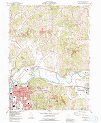
Other maps of this area

1908 · Conesville
USGS Topo · 1:62,500

1909 · Cambridge
USGS Topo · 1:62,500

1910 · Conesville
USGS Topo · 1:62,500

1911 · Newcomerstown
USGS Topo · 1:62,500

1912 · Cambridge
USGS Topo · 1:62,500

1913 · Newcomerstown
USGS Topo · 1:62,500

1913 · Coshocton
USGS Topo · 1:62,500

1915 · Coshocton
USGS Topo · 1:62,500

1943 · Coshocton
USGS Topo · 1:62,500

1943 · Newcomerstown
USGS Topo · 1:62,500