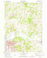
1961 Map of Coshocton
USGS Topo · Published 1978About this map
The confluence of the Walhonding River and Tuscarawas River forms the Muskingum River at Coshocton, a major regional hub defined by its industrial and transit history. By the early 1960s, the landscape south and east of the city was heavily marked by extensive Strip Mines and a sprawling Gas Field, illustrating the area's reliance on extractive industries. The city center itself is densely mapped, featuring the Courthouse, the County Fairground, and numerous educational institutions like Central High Sch.
Find a feature on this map
53 named features on this map. Tap any name to fly to it.
Don’t see what you’re looking for? This feature index may not catch every label — zoom into the map to look around manually.
Map Details
Editions of this 1961 Coshocton Map
4 editions found
Other maps of this area

1908 · Conesville
USGS Topo · 1:62,500

1909 · Cambridge
USGS Topo · 1:62,500

1910 · Conesville
USGS Topo · 1:62,500

1911 · Newcomerstown
USGS Topo · 1:62,500

1912 · Cambridge
USGS Topo · 1:62,500

1913 · Newcomerstown
USGS Topo · 1:62,500

1913 · Coshocton
USGS Topo · 1:62,500

1915 · Coshocton
USGS Topo · 1:62,500

1943 · Coshocton
USGS Topo · 1:62,500

1943 · Newcomerstown
USGS Topo · 1:62,500