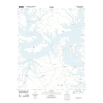
2011 Map of Cotter NW
USGS Topo · Published 2011About this map
Midway serves as a central point of settlement on this 2011 survey, situated at the crossroads of a complex network of county roads. The landscape is dominated by the sprawling reaches of Bull Shoals Lake, which carves deep into the Ozark Plateau to form numerous named coves and bluffs. The naming conventions across this terrain reveal a history of local industry and natural landmarks, including Stave Mill Hollow, likely named for timber harvesting, and Coal Pit Hollow. Distinctive features like Ozark Isle and Cane Bottom Bluff emphasize the transformation of this region since the damming of the White River. Several family-named or descriptive features, such as Wilkerson Ridge and Buzzard Bluff, provide important markers for genealogists and local historians tracking the geography of northern Marion County.
Find a feature on this map
66 named features on this map. Tap any name to fly to it.
Don’t see what you’re looking for? This feature index may not catch every label — zoom into the map to look around manually.
Map Details
Editions of this 2011 Cotter NW Map
This is the sole edition of this map. No revisions or reprints were ever made.
Other maps of this area

1893 · Yellville
USGS Topo · 1:125,000

1903 · Yellville
USGS Topo · 1:125,000

1905 · Yellville
USGS Topo · 1:125,000

1929 · Yellville
USGS Topo · 1:125,000

1936 · Thornfield
USGS Topo · 1:48,000

1943 · Protem
USGS Topo · 1:62,500

1943 · Thornfield
USGS Topo · 1:62,500

1945 · Harrison
USGS Topo · 1:250,000

1945 · Thornfield
USGS Topo · 1:62,500

1949 · Harrison
USGS Topo · 1:250,000