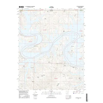
2017 Map of Cotter NW
USGS Topo · Published 2017About this map
Midway sits at a geographic crossroads in northern Arkansas, where the winding arms of Bull Shoals Lake meet a landscape defined by deep hollows and high bluffs. This 2017 study illustrates the intricate interface between the reservoir and the surrounding Ozark terrain, featuring prominent landmarks like Ozark Isle and Barnes Bay. The topography is marked by family-named and descriptive features such as Wilkerson Ridge, Stave Mill Hollow, and Coal Pit Hollow, which hint at the region's historical timber and mining interests.
Find a feature on this map
80 named features on this map. Tap any name to fly to it.
Don’t see what you’re looking for? This feature index may not catch every label — zoom into the map to look around manually.
Map Details
Editions of this 2017 Cotter NW Map
This is the sole edition of this map. No revisions or reprints were ever made.
Other maps of this area

1893 · Yellville
USGS Topo · 1:125,000

1903 · Yellville
USGS Topo · 1:125,000

1905 · Yellville
USGS Topo · 1:125,000

1929 · Yellville
USGS Topo · 1:125,000

1936 · Thornfield
USGS Topo · 1:48,000

1943 · Protem
USGS Topo · 1:62,500

1943 · Thornfield
USGS Topo · 1:62,500

1945 · Harrison
USGS Topo · 1:250,000

1945 · Thornfield
USGS Topo · 1:62,500

1949 · Harrison
USGS Topo · 1:250,000