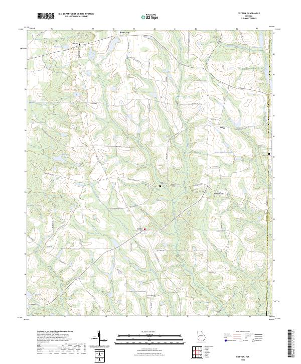
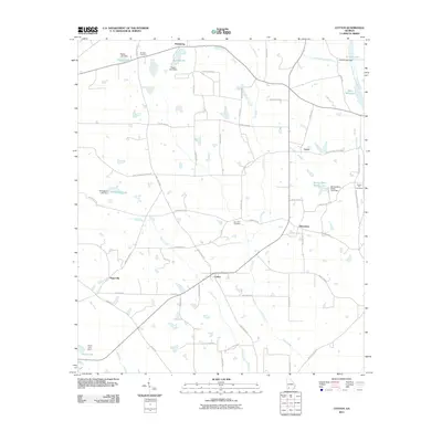
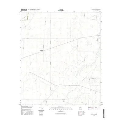
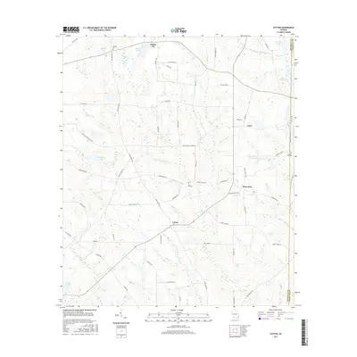
2024 Map of Cotton
USGS Topo · Published 2024About this map
Cotton and Hinsonton serve as the primary settlement hubs in this rural stretch of South Georgia, where a dense network of country roads connects family-named homesteads and local landmarks. The landscape is defined by the headwaters and tributaries of the Little Ochlockonee River, with Lost Creek and Little Creek carving winding paths through the terrain. For those researching local lineages, the map identifies several significant burial sites, including Akridge Cem near Rigsby Lake and Liberty Hill Cem on the eastern boundary near the Mitchell Co Colquitt Co line.
Find a feature on this map
56 named features on this map. Tap any name to fly to it.
Don’t see what you’re looking for? This feature index may not catch every label — zoom into the map to look around manually.
Map Details
Editions of this 2024 Cotton Map
This is the sole edition of this map. No revisions or reprints were ever made.
Historical Maps of Cotton Through Time
18 maps found
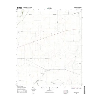
1971 Branchville
Mitchell County, GA
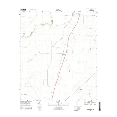
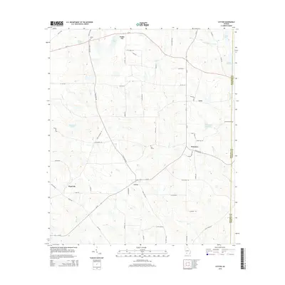
1971 Cotton
Mitchell County, GA
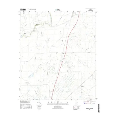
1974 Baconton South
Mitchell County, GA
2011 Baconton South
Mitchell County, GA
2011 Branchville
Mitchell County, GA
2011 Cotton
Mitchell County, GA
2014 Baconton South
Mitchell County, GA
2014 Branchville
Mitchell County, GA
2014 Cotton
Mitchell County, GA
2017 Baconton South
Mitchell County, GA
2017 Branchville
Mitchell County, GA
2017 Cotton
Mitchell County, GA
2020 Baconton South
Mitchell County, GA
2020 Branchville
Mitchell County, GA
2020 Cotton
Mitchell County, GA
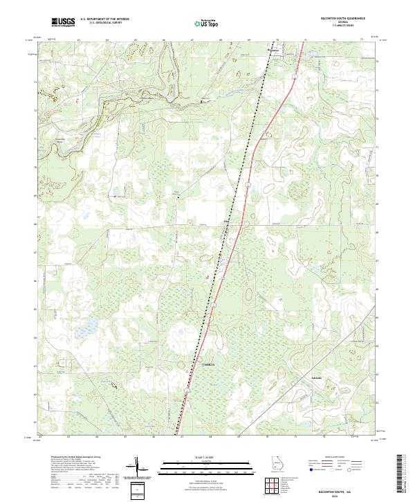
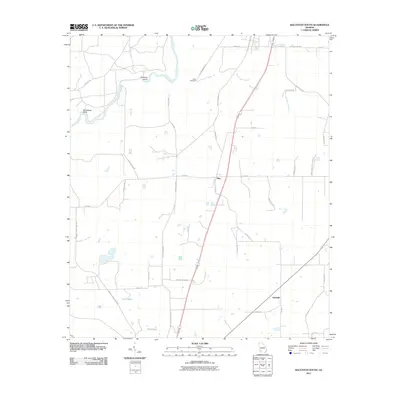
2024 Baconton South
Mitchell County, GA
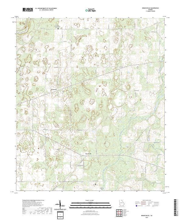
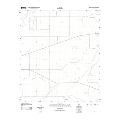
2024 Branchville
Mitchell County, GA
2024 Cotton
Mitchell County, GA