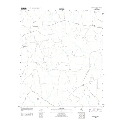
2012 Map of Cotton Plant
USGS Topo · Published 2012About this map
Chester and Cotton Plant define the rural character of this northern Louisiana landscape, where a dense network of local roads connects scattered settlements and family cemeteries. The terrain is deeply tied to the energy industry, as evidenced by numerous designated production zones including the Cotton Plant Gas Field and Hathaway Branch Gas Field. These industrial sites sit alongside landmarks of local community life, such as the Sardis Church of Gas Field.
Find a feature on this map
86 named features on this map. Tap any name to fly to it.
Don’t see what you’re looking for? This feature index may not catch every label — zoom into the map to look around manually.
Map Details
Editions of this 2012 Cotton Plant Map
This is the sole edition of this map. No revisions or reprints were ever made.
Other maps of this area

1940 · Columbia
USGS Topo · 1:62,500

1953 · Alexandria
USGS Topo · 1:250,000

1954 · Sikes
USGS Topo · 1:62,500

1954 · Tullos
USGS Topo · 1:62,500

1955 · Shreveport
USGS Topo · 1:250,000

1955 · Alexandria
USGS Topo · 1:250,000

1955 · Olla
USGS Topo · 1:62,500

1956 · Shreveport
USGS Topo · 1:250,000

1957 · Columbia
USGS Topo · 1:62,500

1984 · Shreveport
USGS Topo · 1:250,000