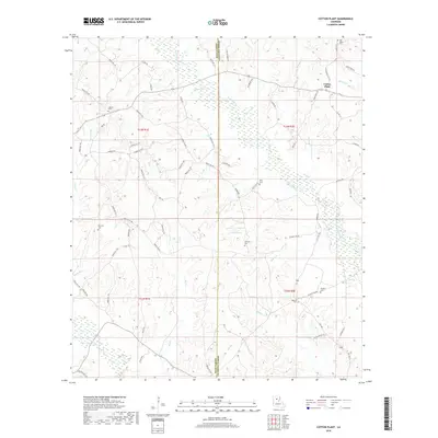
2018 Map of Cotton Plant
USGS Topo · Published 2018About this map
Cotton Plant serves as the primary focal point in this landscape where the borders of Winn and Caldwell parishes meet. The terrain is defined by a dense network of hydrologic features, including the winding course of Beaucoup Cr and its various tributaries like Hebron Br and Fox Br. Low-lying wetlands are interspersed with higher ground such as Blueberry Hill, creating a complex environment for the rural road systems that connect scattered family settlements and agricultural tracts.
Find a feature on this map
79 named features on this map. Tap any name to fly to it.
Don’t see what you’re looking for? This feature index may not catch every label — zoom into the map to look around manually.
Map Details
Editions of this 2018 Cotton Plant Map
This is the sole edition of this map. No revisions or reprints were ever made.
Other maps of this area

1940 · Columbia
USGS Topo · 1:62,500

1953 · Alexandria
USGS Topo · 1:250,000

1954 · Sikes
USGS Topo · 1:62,500

1954 · Tullos
USGS Topo · 1:62,500

1955 · Shreveport
USGS Topo · 1:250,000

1955 · Alexandria
USGS Topo · 1:250,000

1955 · Olla
USGS Topo · 1:62,500

1956 · Shreveport
USGS Topo · 1:250,000

1957 · Columbia
USGS Topo · 1:62,500

1984 · Shreveport
USGS Topo · 1:250,000