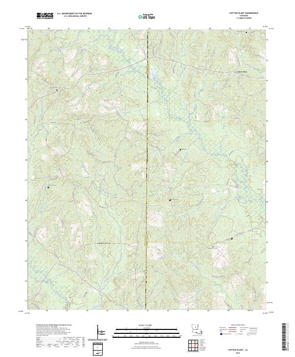
2024 Map of Cotton Plant
USGS Topo · Published 2024About this map
Cotton Plant stands as a primary landmark in this rural landscape straddling the line between Winn Parish and Caldwell Parish. The terrain is defined by a dense network of tributaries including Beaucoup Creek, Big Creek, and Banister Creek which weave through the timberlands. Local topography rises at Blueberry Hill, providing a distinct elevation point in an area otherwise characterized by creek bottoms and gentle slopes.
Find a feature on this map
77 named features on this map. Tap any name to fly to it.
Don’t see what you’re looking for? This feature index may not catch every label — zoom into the map to look around manually.
Map Details
Editions of this 2024 Cotton Plant Map
This is the sole edition of this map. No revisions or reprints were ever made.
Other maps of this area

1940 · Columbia
USGS Topo · 1:62,500

1953 · Alexandria
USGS Topo · 1:250,000

1954 · Sikes
USGS Topo · 1:62,500

1954 · Tullos
USGS Topo · 1:62,500

1955 · Shreveport
USGS Topo · 1:250,000

1955 · Alexandria
USGS Topo · 1:250,000

1955 · Olla
USGS Topo · 1:62,500

1956 · Shreveport
USGS Topo · 1:250,000

1957 · Columbia
USGS Topo · 1:62,500

1984 · Shreveport
USGS Topo · 1:250,000