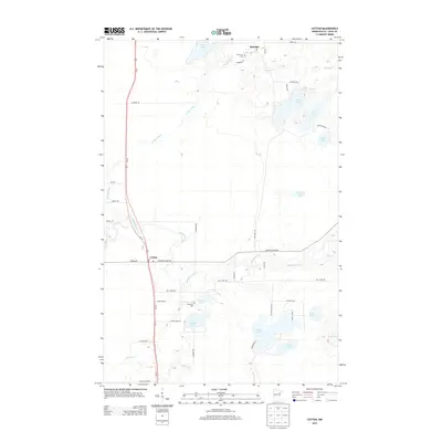
2013 Map of Cotton
USGS Topo · Published 2013About this map
Whiteface River and the Paleface River dominate this Saint Louis County landscape, intersecting a network of glacial lakes and small northern settlements. The community of Cotton serves as a central hub, situated where the main north-south highway corridor meets Arkola Rd and Comstock Lake Rd. To the north, the smaller settlement of Melrude is positioned along the Paleface River near its confluence with Paleface Cr.
Find a feature on this map
46 named features on this map. Tap any name to fly to it.
Don’t see what you’re looking for? This feature index may not catch every label — zoom into the map to look around manually.
Map Details
Editions of this 2013 Cotton Map
This is the sole edition of this map. No revisions or reprints were ever made.
Other maps of this area

1951 · Central Lakes
USGS Topo · 1:24,000

1951 · Zim
USGS Topo · 1:24,000

1951 · Makinen
USGS Topo · 1:24,000

1953 · Canyon
USGS Topo · 1:24,000

1953 · Shaw
USGS Topo · 1:24,000

1953 · Payne
USGS Topo · 1:24,000

1954 · Hibbing
USGS Topo · 1:250,000

1956 · Cotton
USGS Topo · 1:24,000

1956 · Whiteface
USGS Topo · 1:24,000

1957 · Hibbing
USGS Topo · 1:250,000