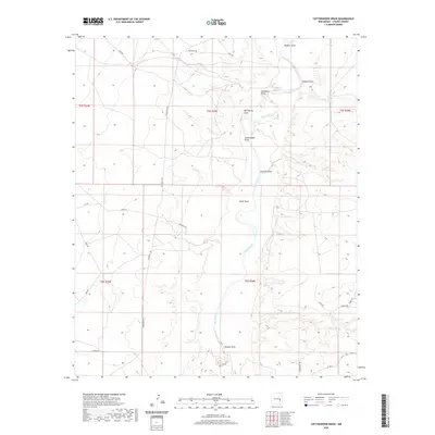
2020 Map of Cottonwood Draw
USGS Topo · Published 2020About this map
The Pecos River meanders through this portion of Chaves County, defining a landscape carved by numerous intermittent drainages. This high-desert terrain is marked by a series of named draws that feed into the river valley, including Cottonwood Draw, Alkali Draw, and Bosque Draw. These features, along with localized water sources such as Sixmile Spring, Crockett Spring, and Red Spring, were historically critical for sustaining life and livestock in an otherwise arid environment.
Find a feature on this map
32 named features on this map. Tap any name to fly to it.
Don’t see what you’re looking for? This feature index may not catch every label — zoom into the map to look around manually.
Map Details
Editions of this 2020 Cottonwood Draw Map
This is the sole edition of this map. No revisions or reprints were ever made.
Other maps of this area

1955 · Roswell
USGS Topo · 1:250,000

1958 · Roswell
USGS Topo · 1:250,000

1962 · Roswell
USGS Topo · 1:250,000

1962 · Eightmile Draw
USGS Topo · 1:24,000

1963 · Coyote Draw
USGS Topo · 1:24,000

1967 · Deering Place
USGS Topo · 1:24,000

1967 · Haystack Mountain
USGS Topo · 1:24,000

1967 · Cottonwood Draw
USGS Topo · 1:24,000

1967 · Swallow Nest Canyon
USGS Topo · 1:24,000

1967 · Hernandez Lake
USGS Topo · 1:24,000