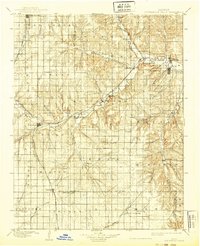
1898 Map of Cottonwood Falls
USGS Topo · Published 1939About this map
Cottonwood River and its various forks define the settlement patterns of this Flint Hills landscape at the close of the nineteenth century. The confluence of Middle Creek and Diamond Creek near Elmdale marks a fertile valley where the Atchison Topeka and Santa Fe RR follows the water's edge, connecting towns like Strong, Clements, and Cedar Point. In the north, the Chicago Rock Island and Pacific RR cuts through Lincolnville and Antelope, while the southern reaches transition into the headwaters of the Walnut River near Sycamore Springs. This survey captures the region during a period of established rail-and-river dependency, documenting small stopping points like Wonsevu, Homestead, and Bixley that served as local hubs before the consolidation of rural communities. The map highlights the intricate relationship between the winding South Fork Cottonwood River and the development of Matfield Green, illustrating how the valley topography dictated the path of the Santa Fe road.
Find a feature on this map
59 named features on this map. Tap any name to fly to it.
Don’t see what you’re looking for? This feature index may not catch every label — zoom into the map to look around manually.
Map Details
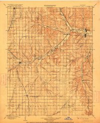
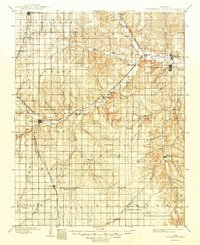
Editions of this 1898 Cottonwood Falls Map
4 editions found

Other maps of this area

1885 · Eskridge
USGS Topo · 1:125,000

1885 · Eureka
USGS Topo · 1:125,000

1888 · Emporia
USGS Topo · 1:125,000

1888 · Eureka
USGS Topo · 1:125,000

1888 · Eldorado
USGS Topo · 1:125,000

1889 · Newton
USGS Topo · 1:125,000

1889 · Abilene
USGS Topo · 1:125,000

1889 · Parkerville
USGS Topo · 1:125,000

1889 · Eskridge
USGS Topo · 1:125,000

1889 · Wichita
USGS Topo · 1:125,000