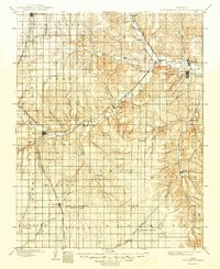
1898 Map of Cottonwood Falls
USGS Topo · Published 1949About this map
Cottonwood River serves as the central artery for this late 19th-century landscape, carving a valley that dictated the path of the Atchison Topeka and Santa Fe RR. The county seat at Cottonwood Falls and the nearby rail hub of Strong represent the primary population centers during this era of reconnaissance mapping. Outside these hubs, the prairie is organized into a grid of townships like Bazaar, Cedar, and Matfield, dotted with small agricultural settlements such as Cedar Point, Matfield Green, and Elmdale.
Find a feature on this map
64 named features on this map. Tap any name to fly to it.
Don’t see what you’re looking for? This feature index may not catch every label — zoom into the map to look around manually.
Map Details
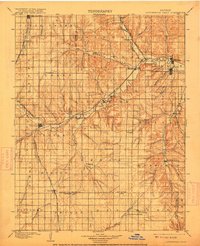
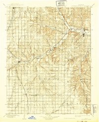
Editions of this 1898 Cottonwood Falls Map
4 editions found

Other maps of this area

1885 · Eskridge
USGS Topo · 1:125,000

1885 · Eureka
USGS Topo · 1:125,000

1888 · Emporia
USGS Topo · 1:125,000

1888 · Eureka
USGS Topo · 1:125,000

1888 · Eldorado
USGS Topo · 1:125,000

1889 · Newton
USGS Topo · 1:125,000

1889 · Abilene
USGS Topo · 1:125,000

1889 · Parkerville
USGS Topo · 1:125,000

1889 · Eskridge
USGS Topo · 1:125,000

1889 · Wichita
USGS Topo · 1:125,000