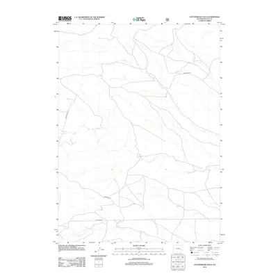
2012 Map of Cottonwood Falls
USGS Topo · Published 2012About this map
Cottonwood Falls serves as the focal point for this section of Platte County, where a network of seasonal and perennial drainages shapes the local geography. The area is defined by the convergence of several waterways, including the winding Cottonwood Cr and Crow Cr, which cut through the high plains. This 2012 USGS survey illustrates how modern infrastructure adapts to these natural corridors, with Harris Park Rd and Cumberland Rd navigating the breaks and plateaus. Smaller tributaries like Spring Cr, Dagley Cr, and Matilda Cr further articulate the watershed, while Fish Creek Rd provides southern access near the banks of Fish Cr. The map details a landscape where water remains the primary architect of the terrain, influencing the placement of the sparse road network and rural developments.
Find a feature on this map
10 named features on this map. Tap any name to fly to it.
Don’t see what you’re looking for? This feature index may not catch every label — zoom into the map to look around manually.
Map Details
Editions of this 2012 Cottonwood Falls Map
This is the sole edition of this map. No revisions or reprints were ever made.
Other maps of this area

1943 · Esterbrook
USGS Topo · 1:62,500

1945 · Esterbrook
USGS Topo · 1:62,500

1949 · Spring Creek
USGS Topo · 1:24,000

1950 · Spring Creek
USGS Topo · 1:24,000

1950 · Coleman Butte
USGS Topo · 1:24,000

1950 · Cottonwood Falls
USGS Topo · 1:24,000

1951 · Coleman Butte
USGS Topo · 1:24,000

1951 · Sibley Peak
USGS Topo · 1:24,000

1951 · Cottonwood Falls
USGS Topo · 1:24,000

1953 · Lewis Flat
USGS Topo · 1:24,000