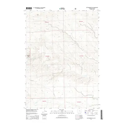
2015 Map of Cottonwood Falls
USGS Topo · Published 2015About this map
Medicine Bow Nat For boundaries define the western edge of this Platte County landscape, where the high plains of Wyoming meet complex drainage systems. The area is characterized by a network of seasonal and perennial waterways, most notably the winding course of Cottonwood Creek and Crow Creek, which carve through the terrain alongside Sand Draw. Human presence is marked primarily by rural access routes such as Harris Park Rd and Fish Creek Rd, which provide passage through the vast townships of the region. Local hydrology is further detailed by smaller tributaries including Matilda Creek, Spring Creek, and Dugley Creek, offering a precise look at the watershed before it reaches more developed basins. This survey serves as a vital record of the natural land divisions and topographic relief in a sparsely populated section of the state.
Find a feature on this map
16 named features on this map. Tap any name to fly to it.
Don’t see what you’re looking for? This feature index may not catch every label — zoom into the map to look around manually.
Map Details
Editions of this 2015 Cottonwood Falls Map
This is the sole edition of this map. No revisions or reprints were ever made.
Other maps of this area

1943 · Esterbrook
USGS Topo · 1:62,500

1945 · Esterbrook
USGS Topo · 1:62,500

1949 · Spring Creek
USGS Topo · 1:24,000

1950 · Spring Creek
USGS Topo · 1:24,000

1950 · Coleman Butte
USGS Topo · 1:24,000

1950 · Cottonwood Falls
USGS Topo · 1:24,000

1951 · Coleman Butte
USGS Topo · 1:24,000

1951 · Sibley Peak
USGS Topo · 1:24,000

1951 · Cottonwood Falls
USGS Topo · 1:24,000

1953 · Lewis Flat
USGS Topo · 1:24,000