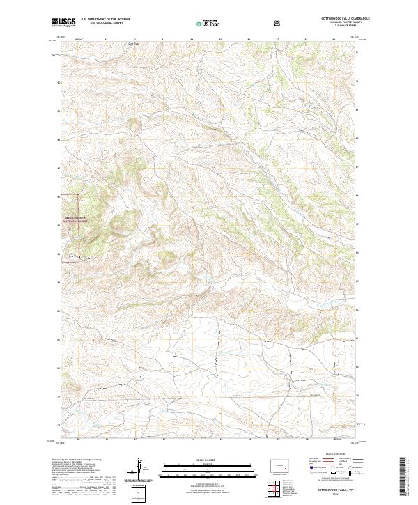
2021 Map of Cottonwood Falls
USGS Topo · Published 2021About this map
Medicine Bow National Forest defines the western edge of this Platte County terrain, where the landscape is marked by a complex network of seasonal and perennial drainages. The naming of Cottonwood Falls and the winding Cottonwood Creek suggest a riparian corridor that historically served as a critical water source in this arid region. This modern survey illustrates how traditional ranching and forest access are maintained through a skeletal network of rural routes including Harris Park Rd and Cumberland Rd. The drainage patterns of Crow Creek, Spring Creek, and Fish Creek provide a detailed look at the watershed geography of the Laramie Mountains' eastern foothills, reflecting a landscape that remains primarily dedicated to conservation and open-range land use.
Find a feature on this map
20 named features on this map. Tap any name to fly to it.
Don’t see what you’re looking for? This feature index may not catch every label — zoom into the map to look around manually.
Map Details
Editions of this 2021 Cottonwood Falls Map
This is the sole edition of this map. No revisions or reprints were ever made.
Other maps of this area

1943 · Esterbrook
USGS Topo · 1:62,500

1945 · Esterbrook
USGS Topo · 1:62,500

1949 · Spring Creek
USGS Topo · 1:24,000

1950 · Spring Creek
USGS Topo · 1:24,000

1950 · Coleman Butte
USGS Topo · 1:24,000

1950 · Cottonwood Falls
USGS Topo · 1:24,000

1951 · Coleman Butte
USGS Topo · 1:24,000

1951 · Sibley Peak
USGS Topo · 1:24,000

1951 · Cottonwood Falls
USGS Topo · 1:24,000

1953 · Lewis Flat
USGS Topo · 1:24,000