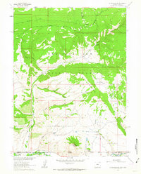
1962 Map of Cottonwood Rim
USGS Topo · Published 1963About this map
Medicine Bow National Forest dominates the upper half of this 1962 survey, which documents the high-altitude landscape where Carbon County, Wyoming, meets Routt County, Colorado. The rugged terrain is defined by the steep escarpment of Cottonwood Rim and the drainages of Upper Big Gulch and Lower Big Gulch, which feed south toward the Little Snake River. Evidence of land management and recreation is visible at the Sandstone Ranger Sta and the Battle Creek Campground, situated near the confluence of Battle Creek and its west fork. The presence of the Belvidere Ditch and a prominent Stock Driveway reflects the area's history of water engineering and livestock movement. To the south, the peaks of Sheep Mountain and Mule Mountain stand above the state boundary, illustrating the complex topography used by ranchers and outdoorsmen in the mid-20th century.
Find a feature on this map
22 named features on this map. Tap any name to fly to it.
Don’t see what you’re looking for? This feature index may not catch every label — zoom into the map to look around manually.
Map Details
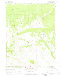
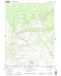
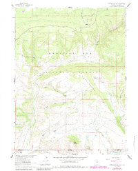
Editions of this 1962 Cottonwood Rim Map
4 editions found
Other maps of this area

1932 · Savery
USGS Topo · 1:96,000

1940 · Savery
USGS Topo · 1:125,000

1954 · Rawlins
USGS Topo · 1:250,000

1954 · Craig
USGS Topo · 1:250,000

1957 · Craig
USGS Topo · 1:250,000

1958 · Rawlins
USGS Topo · 1:250,000

1958 · Craig
USGS Topo · 1:250,000

1960 · Craig
USGS Topo · 1:250,000

1961 · Grieve Reservoir
USGS Topo · 1:24,000

1961 · Bridger Peak
USGS Topo · 1:24,000