
1956 Map of Council Bluffs North
USGS Topo · Published 1958About this map
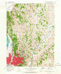
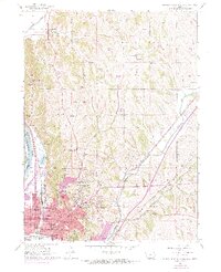
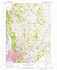
The northern reaches of Council Bluffs emerge at the base of the loess hills, where the city's residential grid meets the rugged terrain of Kane and Garner. This mid-century landscape is dense with community infrastructure, featuring a significant concentration of local schools such as Lincoln High Sch, Harrison Sch, and the Roosevelt Sch. The urban development is framed by large recreational spaces like Fairmount Park and Big Lake Park, which sits adjacent to Iowa Lake near the western levee system.
Find a feature on this map
63 named features on this map. Tap any name to fly to it.
Don’t see what you’re looking for? This feature index may not catch every label — zoom into the map to look around manually.
Map Details
Editions of this 1956 Council Bluffs North Map
4 editions found
Other maps of this area

1893 · Omaha
USGS Topo · 1:62,500

1954 · Omaha
USGS Topo · 1:250,000

1956 · Underwood
USGS Topo · 1:24,000

1956 · Mineola
USGS Topo · 1:24,000

1956 · Omaha North
USGS Topo · 1:24,000

1956 · Mc Clelland
USGS Topo · 1:24,000

1956 · Council Bluffs South
USGS Topo · 1:24,000

1956 · Omaha South
USGS Topo · 1:24,000

1957 · Omaha
USGS Topo · 1:250,000

1957 · Loveland
USGS Topo · 1:24,000