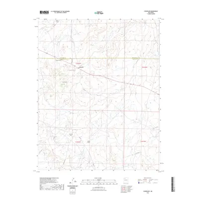
2023 Map of Counselor
USGS Topo · Published 2023About this map
Counselor serves as a primary settlement point in this high-desert landscape of Sandoval and Rio Arriba counties. The community is situated along the major transit corridor of Highway 44, centered near the Counselor Community Cem. The terrain is defined by a series of significant drainage systems and mesas, including the prominent Sisnathyel Mesa and the winding depths of Gallo Canyon and Haynes Canyon. This recent survey illustrates a modern network of local roads such as Chapter House Rd and Jicarilla Rd, providing access to the various canyons that cut through the plateau. To the north, Escrito Canyon and Cañon Largo dominate the topography, while Venado Canyon and Cañada Alemita mark the southern reaches. The map reflects a landscape where infrastructure is concentrated near the settlement, giving way to an expansive network of canyons and mesas.
Find a feature on this map
21 named features on this map. Tap any name to fly to it.
Don’t see what you’re looking for? This feature index may not catch every label — zoom into the map to look around manually.
Map Details
Editions of this 2023 Counselor Map
This is the sole edition of this map. No revisions or reprints were ever made.
Other maps of this area

1889 · Largo
USGS Topo · 1:250,000

1895 · Largo
USGS Topo · 1:250,000

1954 · Aztec
USGS Topo · 1:250,000

1958 · Aztec
USGS Topo · 1:250,000

1959 · Nageezi
USGS Topo · 1:62,500

1962 · Aztec
USGS Topo · 1:250,000

1963 · Tayfoya Canyon
USGS Topo · 1:24,000

1963 · Otero Store
USGS Topo · 1:24,000

1965 · Aztec
USGS Topo · 1:250,000
1966 · Tancosa Windmill
USGS Topo · 1:24,000
Featured Places
- Eastern Navajo Agency, NM
- Counselor, Eastern Navajo Agency
- Sandoval County, NM
- Rio Arriba County, NM
- United States