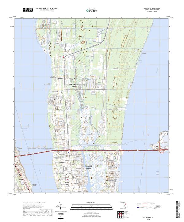
2024 Map of Courtenay
USGS Topo · Published 2024About this map
North Merritt Island forms the core of this coastal landscape, situated between the Indian River and the Banana River. This contemporary survey captures the intricate network of suburban development and protected land, notably the Merritt Island National Wildlife Refuge that dominates the eastern shoreline. The Canaveral Barge Canal cuts horizontally across the island, providing a critical industrial waterway link south of the settlement of Indianola. Local history is anchored by sites like Saint Lukes Episcopal Cem near Courtenay and Bethel Cem further south. The map reflects the region's balance between residential growth, seen in the dense street grids of Tropical Park, and its maritime geography, defined by the winding course of Sykes Creek and the broad expanse of the Indian River Lagoon.
Find a feature on this map
82 named features on this map. Tap any name to fly to it.
Don’t see what you’re looking for? This feature index may not catch every label — zoom into the map to look around manually.
Map Details
Editions of this 2024 Courtenay Map
This is the sole edition of this map. No revisions or reprints were ever made.
Other maps of this area

1949 · Orsino
USGS Topo · 1:24,000

1949 · False Cape
USGS Topo · 1:24,000

1949 · Titusville
USGS Topo · 1:24,000

1949 · Courtenay
USGS Topo · 1:24,000

1949 · Sharpes
USGS Topo · 1:24,000

1949 · Cocoa
USGS Topo · 1:24,000

1949 · Cocoa Beach
USGS Topo · 1:24,000

1951 · False Cape
USGS Topo · 1:24,000

1951 · Cocoa
USGS Topo · 1:24,000

1951 · Courtenay
USGS Topo · 1:24,000