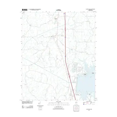
2012 Map of Courtland
USGS Topo · Published 2012About this map
Courtland and the nearby community of Pope anchor this Panola County landscape, where the southern edge is defined by the expansive waters of Enid Lake. The topography is dominated by the Yocona River floodplain and the rising elevation of Yocona Ridge to the southeast. This survey records a dense network of local roads and family-named routes such as Hentz Rd and Pope Water Valley Rd that connect the small settlements of Nelson Spur and Wallace.
Find a feature on this map
100 named features on this map. Tap any name to fly to it.
Don’t see what you’re looking for? This feature index may not catch every label — zoom into the map to look around manually.
Map Details
Editions of this 2012 Courtland Map
This is the sole edition of this map. No revisions or reprints were ever made.
Other maps of this area

1932 · Sledge
USGS Topo · 1:48,000

1935 · Crowder
USGS Topo · 1:62,500

1935 · Sledge
USGS Topo · 1:62,500

1939 · Sledge
USGS Topo · 1:62,500

1939 · Crowder
USGS Topo · 1:62,500

1948 · Helena
USGS Topo · 1:250,000

1950 · Helena
USGS Topo · 1:250,000

1952 · Sardis
USGS Topo · 1:62,500

1953 · Sardis
USGS Topo · 1:62,500

1954 · Oakland
USGS Topo · 1:62,500