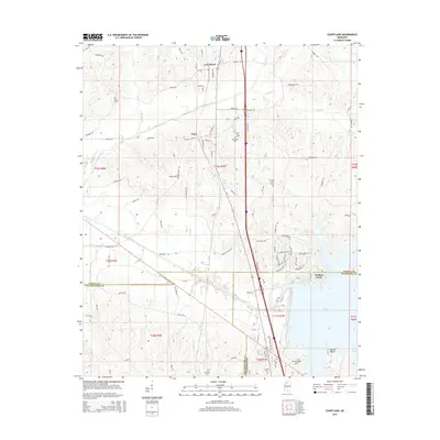
2015 Map of Courtland
USGS Topo · Published 2015About this map
Courtland and Pope serve as the primary northern anchors of this Mississippi landscape, situated at the intersection of a sprawling road network and the upper reaches of the Enid Lake reservoir. The topography is defined by the Yocona River and its numerous tributaries, including Peters Cr and Nelson Cr, which drain the rolling terrain of Yocona Ridge. The map documents a rural corridor transitioning into the lakeside recreation and residential areas of Wallace Creek and Persimmon Hill. For genealogists and local historians, the placement of several small burying grounds, such as Antioch Cem, Spring Hill Cem, and Duke Cem, provides essential spatial context for family research in this tri-county region where Panola, Yalobusha, and Tallahatchie counties converge.
Find a feature on this map
105 named features on this map. Tap any name to fly to it.
Don’t see what you’re looking for? This feature index may not catch every label — zoom into the map to look around manually.
Map Details
Editions of this 2015 Courtland Map
This is the sole edition of this map. No revisions or reprints were ever made.
Other maps of this area

1932 · Sledge
USGS Topo · 1:48,000

1935 · Crowder
USGS Topo · 1:62,500

1935 · Sledge
USGS Topo · 1:62,500

1939 · Sledge
USGS Topo · 1:62,500

1939 · Crowder
USGS Topo · 1:62,500

1948 · Helena
USGS Topo · 1:250,000

1950 · Helena
USGS Topo · 1:250,000

1952 · Sardis
USGS Topo · 1:62,500

1953 · Sardis
USGS Topo · 1:62,500

1954 · Oakland
USGS Topo · 1:62,500