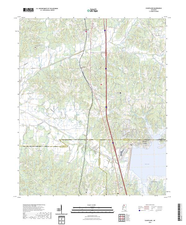
2024 Map of Courtland
USGS Topo · Published 2024About this map
Courtland and Pope serve as the primary residential hubs in this northern Mississippi corridor, situated within a landscape shaped by the Yocona River and the northern reaches of Enid Lake. The topography is defined by significant rises such as Persimmon Hill and Yocona Ridge, which overlook a network of tributary creeks including Johnson Creek, Goodwin Creek, and Long Creek. Local history is deeply embedded in the rural landscape, marked by numerous burial grounds like Antioch Cem, Spring Hill Cem, and the Enid Oakhill Cem near the southern border.
Find a feature on this map
110 named features on this map. Tap any name to fly to it.
Don’t see what you’re looking for? This feature index may not catch every label — zoom into the map to look around manually.
Map Details
Editions of this 2024 Courtland Map
This is the sole edition of this map. No revisions or reprints were ever made.
Other maps of this area

1932 · Sledge
USGS Topo · 1:48,000

1935 · Crowder
USGS Topo · 1:62,500

1935 · Sledge
USGS Topo · 1:62,500

1939 · Sledge
USGS Topo · 1:62,500

1939 · Crowder
USGS Topo · 1:62,500

1948 · Helena
USGS Topo · 1:250,000

1950 · Helena
USGS Topo · 1:250,000

1952 · Sardis
USGS Topo · 1:62,500

1953 · Sardis
USGS Topo · 1:62,500

1954 · Oakland
USGS Topo · 1:62,500