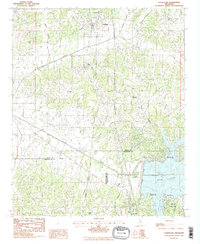
1983 Map of Courtland
USGS Topo · Published 1983About this map
The Illinois Central Gulf railroad forms the spine of the central Mississippi landscape shown here, connecting the small settlements of Courtland and Pope during the early 1980s. This survey captures a rural environment defined by the transition from agriculture to recreational development following the management of the Yocona River. The southeastern corner is dominated by the waters of Enid Lake behind the Enid Dam, where public lands like Cossar State Park and the Persimmon Hill Recreation Area began to reshape the local economy.
Find a feature on this map
31 named features on this map. Tap any name to fly to it.
Don’t see what you’re looking for? This feature index may not catch every label — zoom into the map to look around manually.
Map Details
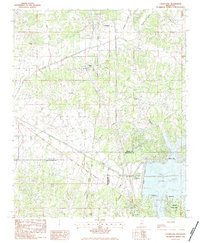
Editions of this 1983 Courtland Map
2 editions found
Other maps of this area

1932 · Sledge
USGS Topo · 1:48,000

1935 · Crowder
USGS Topo · 1:62,500

1935 · Sledge
USGS Topo · 1:62,500

1939 · Sledge
USGS Topo · 1:62,500

1939 · Crowder
USGS Topo · 1:62,500

1948 · Helena
USGS Topo · 1:250,000

1950 · Helena
USGS Topo · 1:250,000

1952 · Sardis
USGS Topo · 1:62,500

1953 · Sardis
USGS Topo · 1:62,500

1954 · Oakland
USGS Topo · 1:62,500