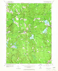
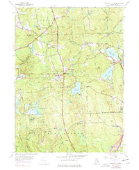
1955 Map of Coventry Center
USGS Topo · Published 1965About this map
Coventry Center serves as the focal point for this mid-century look at the rural West Bay region, where the industrial past of central Rhode Island meets its managed forests and waterways. The New York New Haven And Hartford railroad tracks cut a definitive line through the landscape, connecting the village of Greene with the rail stop at Summit. This transit corridor supported a local economy once reliant on timber and stone, evidenced by the Jackson Quarry and the expansive Wickaboxet State Forest to the south.
Find a feature on this map
83 named features on this map. Tap any name to fly to it.
Don’t see what you’re looking for? This feature index may not catch every label — zoom into the map to look around manually.
Map Details
Editions of this 1955 Coventry Center Map
5 editions found
Other maps of this area

1889 · Putnam
USGS Topo · 1:62,500

1889 · Burrillville
USGS Topo · 1:62,500

1889 · Moosup
USGS Topo · 1:62,500

1890 · Kent
USGS Topo · 1:62,500

1893 · Putnam
USGS Topo · 1:62,500

1893 · Moosup
USGS Topo · 1:62,500

1894 · Burrillville
USGS Topo · 1:62,500

1894 · Kent
USGS Topo · 1:62,500

1915 · Burrillville
USGS Topo · 1:62,500

1919 · Putnam
USGS Topo · 1:62,500