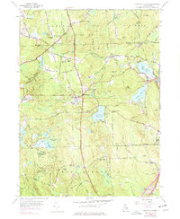
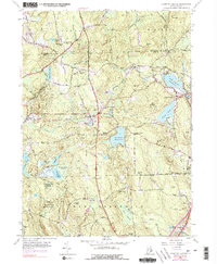
1955 Map of Coventry Center
USGS Topo · Published 1977About this map
The rugged uplands of West Greenwich and Coventry define this section of Rhode Island as it appeared during the mid-20th century. Large tracts of land are preserved within the Wickaboxet State Forest, while the northern landscape is dominated by the sprawling waters of the Flat River Reservoir and Quidnick Reservoir. The settlement pattern reflects a transition from early industrial and agricultural nodes to a more managed forest and recreational landscape. Significant elevation changes are marked by numerous named peaks, including Bowen Hill with its Bowen Hill Lookout Tower, and the aptly named Mt Misery. An Old Railroad Grade snakes through the central terrain, tracing the former path of rail commerce through Summit and Greene. Local community life is rooted in landmarks like the Western Coventry Sch and the Sharp Street Ch, providing specific points of interest for those tracing family ties in the region.
Find a feature on this map
70 named features on this map. Tap any name to fly to it.
Don’t see what you’re looking for? This feature index may not catch every label — zoom into the map to look around manually.
Map Details
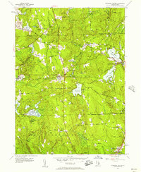
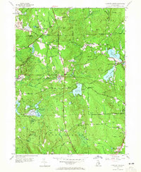
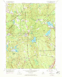
Editions of this 1955 Coventry Center Map
5 editions found
Other maps of this area

1889 · Putnam
USGS Topo · 1:62,500

1889 · Burrillville
USGS Topo · 1:62,500

1889 · Moosup
USGS Topo · 1:62,500

1890 · Kent
USGS Topo · 1:62,500

1893 · Putnam
USGS Topo · 1:62,500

1893 · Moosup
USGS Topo · 1:62,500

1894 · Burrillville
USGS Topo · 1:62,500

1894 · Kent
USGS Topo · 1:62,500

1915 · Burrillville
USGS Topo · 1:62,500

1919 · Putnam
USGS Topo · 1:62,500