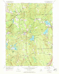
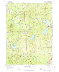
1955 Map of Coventry Center
USGS Topo · Published 1972About this map
Coventry and the surrounding towns of West Greenwich, Foster, and Scituate appear here in a snapshot of Rhode Island’s rural landscape. The map centers on Coventry Center and the village of Summit, connected by an abandoned Railroad Grade that cuts through the heart of the region. This area is defined by a complex network of reservoirs and ponds, including the Flat River Reservoir and Quidnick Reservoir, reflecting the historical importance of water management for local industry and recreation.
Find a feature on this map
69 named features on this map. Tap any name to fly to it.
Don’t see what you’re looking for? This feature index may not catch every label — zoom into the map to look around manually.
Map Details
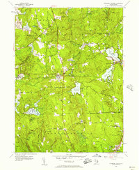
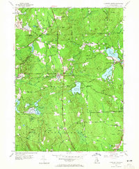
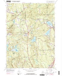
Editions of this 1955 Coventry Center Map
5 editions found
Other maps of this area

1889 · Putnam
USGS Topo · 1:62,500

1889 · Burrillville
USGS Topo · 1:62,500

1889 · Moosup
USGS Topo · 1:62,500

1890 · Kent
USGS Topo · 1:62,500

1893 · Putnam
USGS Topo · 1:62,500

1893 · Moosup
USGS Topo · 1:62,500

1894 · Burrillville
USGS Topo · 1:62,500

1894 · Kent
USGS Topo · 1:62,500

1915 · Burrillville
USGS Topo · 1:62,500

1919 · Putnam
USGS Topo · 1:62,500