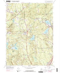
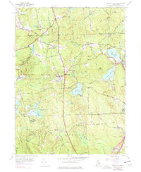
1955 Map of Coventry Center
USGS Topo · Published 1977About this map
The Penn Central Railroad cuts a prominent path through this section of Rhode Island, connecting the communities of Greene, Summit, and Coventry Center. This mid-century landscape is defined by its extensive wetlands and water management, featuring the Flat River Reservoir and Quidnick Reservoir, alongside the vast Great Cedar Swamp. To the south, the protected acreage of the Wickaboxet State Forest preserves the wooded terrain of West Greenwich. Local social centers are anchored by landmarks such as the Mt Vernon Ch and Sharp Street Ch, while the Bowen Hill Lookout Tower stands as a focal point for the surrounding highlands. The map also documents the industrial presence of the Jackson Quarry and the rural character of scattered settlements like Potterville and Kitts Corner.
Find a feature on this map
70 named features on this map. Tap any name to fly to it.
Don’t see what you’re looking for? This feature index may not catch every label — zoom into the map to look around manually.
Map Details
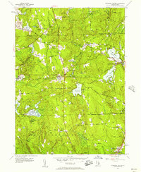
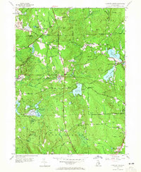
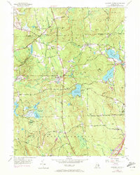
Editions of this 1955 Coventry Center Map
5 editions found
Other maps of this area

1889 · Putnam
USGS Topo · 1:62,500

1889 · Burrillville
USGS Topo · 1:62,500

1889 · Moosup
USGS Topo · 1:62,500

1890 · Kent
USGS Topo · 1:62,500

1893 · Putnam
USGS Topo · 1:62,500

1893 · Moosup
USGS Topo · 1:62,500

1894 · Burrillville
USGS Topo · 1:62,500

1894 · Kent
USGS Topo · 1:62,500

1915 · Burrillville
USGS Topo · 1:62,500

1919 · Putnam
USGS Topo · 1:62,500