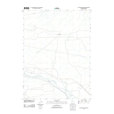
2012 Map of Cow Hollow Creek
USGS Topo · Published 2012About this map
Hams Fork meanders through the southern portion of this Lincoln County landscape, serving as the primary hydrologic artery for a network of historical irrigation systems. This region’s agricultural heritage is etched into the terrain through engineered waterways like Chrisman Ditch Number 1, Old Mexican Ditch, and the Winslow Hallock and Capen Ditch, which redirect water from the river to the surrounding high plains. The settlement of Nutria anchors the southern boundary near the confluence of Cow Hollow Cr, while the broad expanse of Opal Bench rises to the north. Transportation history is visible in the alignment of Old US Hwy 30, which cuts diagonally across the southeastern corner, paralleling the older movement patterns dictated by the river and the local topography.
Find a feature on this map
10 named features on this map. Tap any name to fly to it.
Don’t see what you’re looking for? This feature index may not catch every label — zoom into the map to look around manually.
Map Details
Editions of this 2012 Cow Hollow Creek Map
This is the sole edition of this map. No revisions or reprints were ever made.
Other maps of this area

1954 · Ogden
USGS Topo · 1:250,000

1958 · Ogden
USGS Topo · 1:250,000

1960 · Ogden
USGS Topo · 1:250,000

1969 · Church Butte NW
USGS Topo · 1:24,000
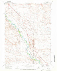
1969 · Moxa
USGS Topo · 1:24,000

1969 · Roberson Creek
USGS Topo · 1:24,000
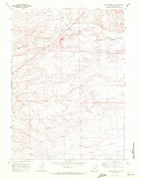
1969 · Shute Creek Lake
USGS Topo · 1:24,000
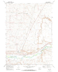
1969 · Opal
USGS Topo · 1:24,000
1969 · Fontenelle SE
USGS Topo · 1:24,000
1969 · Graham Reservoir
USGS Topo · 1:24,000