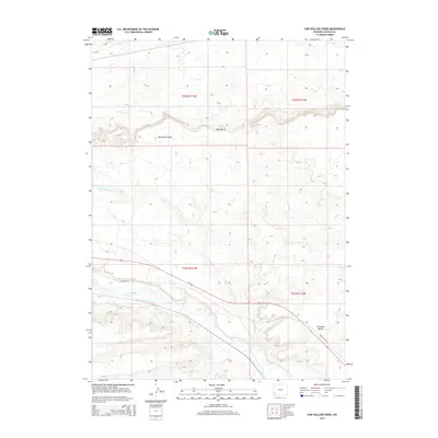
2015 Map of Cow Hollow Creek
USGS Topo · Published 2015About this map
Hams Fork meanders through this portion of Lincoln County, defining a landscape shaped by both natural drainage and early irrigation engineering. The presence of Chrisman Ditch Number 1 and the Winslow Hallock and Capen Ditch illustrates the vital role of water management in this arid region. These man-made channels diverge from the natural waterways to support the local agricultural economy along the valley floor. High desert terrain is characterized by prominent geological features like Opal Bench and Chrisman Bench, providing a stark contrast to the riparian corridor. Historical transportation routes are evident in the alignment of Old US Hwy 30, which cuts across the southeastern corner of the map, and the winding path of Sevenmile Wash to the north. Local access is further defined by secondary routes such as Calhoun Rd and Cr-340.
Find a feature on this map
14 named features on this map. Tap any name to fly to it.
Don’t see what you’re looking for? This feature index may not catch every label — zoom into the map to look around manually.
Map Details
Editions of this 2015 Cow Hollow Creek Map
This is the sole edition of this map. No revisions or reprints were ever made.
Other maps of this area

1954 · Ogden
USGS Topo · 1:250,000

1958 · Ogden
USGS Topo · 1:250,000

1960 · Ogden
USGS Topo · 1:250,000

1969 · Church Butte NW
USGS Topo · 1:24,000
1969 · Moxa
USGS Topo · 1:24,000

1969 · Roberson Creek
USGS Topo · 1:24,000
1969 · Shute Creek Lake
USGS Topo · 1:24,000
1969 · Opal
USGS Topo · 1:24,000
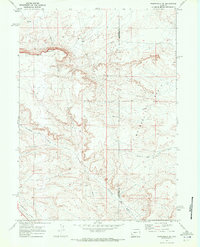
1969 · Fontenelle SE
USGS Topo · 1:24,000
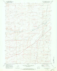
1969 · Graham Reservoir
USGS Topo · 1:24,000