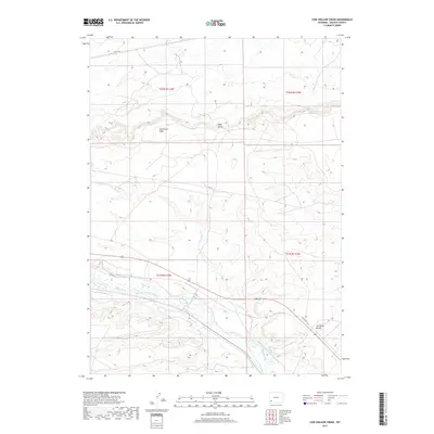
2017 Map of Cow Hollow Creek
USGS Topo · Published 2017About this map
Hams Fork meanders through the southern portion of this high-desert landscape, supporting a complex network of agricultural irrigation that includes the Chrisman Ditch Number 1, Old Mexican Ditch, and the uniquely named Winslow Hallock and Capen Ditch. The terrain is characterized by broad elevated flats such as Opal Bench and Chrisman Bench, punctuated by the seasonal drainage of Cow Hollow Cr and the expansive Sevenmile Wash. The presence of Old US Hwy 30 traces a legacy transportation route through Lincoln County, showing how modern infrastructure follows the natural topography of the river valley. This survey provides a look at the intersection of water rights and ranching geography in Wyoming's sagebrush country, where named ditches and benches delineate the use of a semi-arid environment.
Find a feature on this map
15 named features on this map. Tap any name to fly to it.
Don’t see what you’re looking for? This feature index may not catch every label — zoom into the map to look around manually.
Map Details
Editions of this 2017 Cow Hollow Creek Map
This is the sole edition of this map. No revisions or reprints were ever made.
Other maps of this area

1954 · Ogden
USGS Topo · 1:250,000

1958 · Ogden
USGS Topo · 1:250,000

1960 · Ogden
USGS Topo · 1:250,000

1969 · Church Butte NW
USGS Topo · 1:24,000
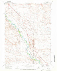
1969 · Moxa
USGS Topo · 1:24,000

1969 · Roberson Creek
USGS Topo · 1:24,000
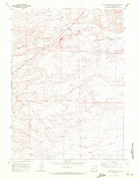
1969 · Shute Creek Lake
USGS Topo · 1:24,000
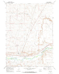
1969 · Opal
USGS Topo · 1:24,000
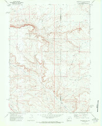
1969 · Fontenelle SE
USGS Topo · 1:24,000
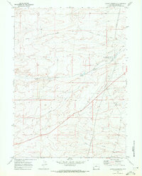
1969 · Graham Reservoir
USGS Topo · 1:24,000