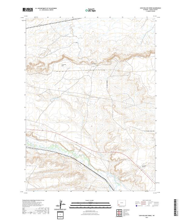
2021 Map of Cow Hollow Creek
USGS Topo · Published 2021About this map
Hams Fork meanders through this high-desert landscape in Lincoln County, anchoring a network of historic irrigation infrastructure. The map documents an intricate system of water rights and engineering, including the Chrisman Ditch Number 1, the Winslow Hallock and Capen Ditch, and the evocatively named Old Mexican Ditch. These waterways support the arid land between the elevated Opal Bench and Chrisman Bench.
Find a feature on this map
14 named features on this map. Tap any name to fly to it.
Don’t see what you’re looking for? This feature index may not catch every label — zoom into the map to look around manually.
Map Details
Editions of this 2021 Cow Hollow Creek Map
This is the sole edition of this map. No revisions or reprints were ever made.
Other maps of this area

1954 · Ogden
USGS Topo · 1:250,000

1958 · Ogden
USGS Topo · 1:250,000

1960 · Ogden
USGS Topo · 1:250,000

1969 · Church Butte NW
USGS Topo · 1:24,000
1969 · Moxa
USGS Topo · 1:24,000

1969 · Roberson Creek
USGS Topo · 1:24,000
1969 · Shute Creek Lake
USGS Topo · 1:24,000
1969 · Opal
USGS Topo · 1:24,000
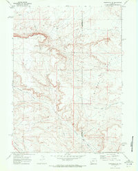
1969 · Fontenelle SE
USGS Topo · 1:24,000
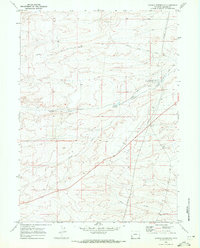
1969 · Graham Reservoir
USGS Topo · 1:24,000