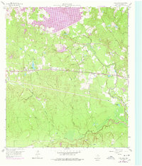
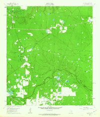
1958 Map of Cowl Spur
USGS Topo · Published 1978About this map
Conroe Lake dominates the northern reaches of this landscape, its waters reaching a normal pool elevation of 201 feet. This mid-century survey, updated in the late 1970s, captures the rural character of Montgomery County as it transitioned from traditional agriculture toward heavy petroleum extraction. The Atchison Topeka and Santa Fe railroad cuts a straight east-west line through the center of the sheet, connecting small rail stops and settlements like Cowl Spur, Honea, and Leonidas.
Find a feature on this map
35 named features on this map. Tap any name to fly to it.
Don’t see what you’re looking for? This feature index may not catch every label — zoom into the map to look around manually.
Map Details
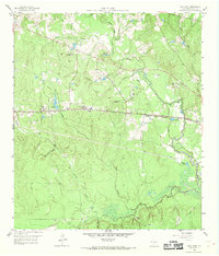
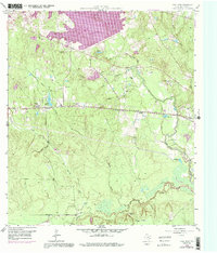
Editions of this 1958 Cowl Spur Map
4 editions found
Other maps of this area

1954 · Beaumont
USGS Topo · 1:250,000

1957 · Beaumont
USGS Topo · 1:250,000

1958 · Conroe
USGS Topo · 1:24,000

1958 · Cowl Spur
USGS Topo · 1:24,000

1958 · Lake Paula
USGS Topo · 1:24,000

1959 · Montgomery
USGS Topo · 1:24,000

1960 · Willis
USGS Topo · 1:24,000
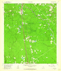
1961 · Tamina
USGS Topo · 1:24,000

1962 · Keenan
USGS Topo · 1:24,000
1962 · Oklahoma
USGS Topo · 1:24,000