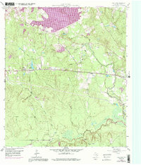
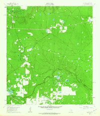
1958 Map of Cowl Spur
USGS Topo · Published 1991About this map
Conroe Lake dominates the northern reaches of this Montgomery County landscape, its shorelines and water levels shown as they appeared during the late 1950s with subsequent photorevisions. The terrain is defined by the West Fork San Jacinto River and its numerous tributaries, including Mound Creek and Fish Creek. This survey captures a specific era of industrial development in East Texas, characterized by the Lake Creek Oil Field and the West Conroe Oil Field, alongside smaller settlements like Honea and Leonidas.
Find a feature on this map
34 named features on this map. Tap any name to fly to it.
Don’t see what you’re looking for? This feature index may not catch every label — zoom into the map to look around manually.
Map Details
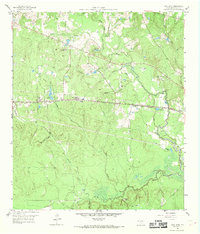
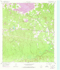
Editions of this 1958 Cowl Spur Map
4 editions found
Other maps of this area

1954 · Beaumont
USGS Topo · 1:250,000

1957 · Beaumont
USGS Topo · 1:250,000

1958 · Conroe
USGS Topo · 1:24,000

1958 · Cowl Spur
USGS Topo · 1:24,000

1958 · Lake Paula
USGS Topo · 1:24,000

1959 · Montgomery
USGS Topo · 1:24,000

1960 · Willis
USGS Topo · 1:24,000
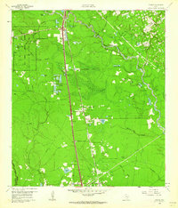
1961 · Tamina
USGS Topo · 1:24,000

1962 · Keenan
USGS Topo · 1:24,000
1962 · Oklahoma
USGS Topo · 1:24,000