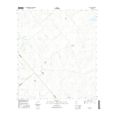
2016 Map of Coy City
USGS Topo · Published 2016About this map
Coy City serves as the central hub of this South Texas landscape, situated at the intersection of several farm-to-market roads in Karnes County. The terrain is defined by a dense network of drainage features and named depressions, including Picket Hollow, Javancho Hollow, and Mexican Hollow. These topographic contours illustrate the natural watershed of the region, where seasonal flow moves through Weedy Cr and San Christoval Cr.
Find a feature on this map
41 named features on this map. Tap any name to fly to it.
Don’t see what you’re looking for? This feature index may not catch every label — zoom into the map to look around manually.
Map Details
Editions of this 2016 Coy City Map
This is the sole edition of this map. No revisions or reprints were ever made.
Other maps of this area

1925 · Tordia No. 1
USGS Topo · 1:48,000

1931 · Falls City
USGS Topo · 1:62,500

1936 · Pettus
USGS Topo · 1:62,500

1953 · Crystal City
USGS Topo · 1:250,000

1953 · Beeville
USGS Topo · 1:250,000

1955 · Crystal City
USGS Topo · 1:250,000

1956 · Suniland
USGS Topo · 1:62,500

1956 · Beeville
USGS Topo · 1:250,000

1956 · Pettus
USGS Topo · 1:62,500

1956 · Karnes City
USGS Topo · 1:62,500