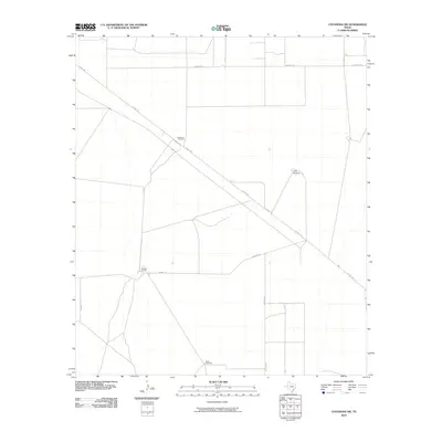
2010 Map of Coyanosa SW
USGS Topo · Published 2010About this map
Mendel Ranch anchors this western Pecos County landscape, where the flat Texas terrain is defined by a sparse network of ranch roads and essential water infrastructure. The distribution of livestock-support features, including Lawerance Windmill, Ligon Windmill, and Beard Windmill, reflects the region's reliance on groundwater for desert ranching operations. Significant transportation corridors like N Hwy 285 cut diagonally through the survey, providing the primary connection between remote property holdings. Local access is maintained through a rectilinear grid of dirt and gravel paths, notably Mcintyre Rd and Kennedy Rd, which serve the expansive private ranchlands. This document captures the intersection of modern highway transit and traditional livestock management in the Trans-Pecos region.
Find a feature on this map
8 named features on this map. Tap any name to fly to it.
Don’t see what you’re looking for? This feature index may not catch every label — zoom into the map to look around manually.
Map Details
Editions of this 2010 Coyanosa SW Map
This is the sole edition of this map. No revisions or reprints were ever made.
Other maps of this area

1929 · Hovey
USGS Topo · 1:125,000

1931 · Barstow
USGS Topo · 1:125,000

1954 · Pecos
USGS Topo · 1:250,000

1954 · Fort Stockton
USGS Topo · 1:250,000

1957 · Pecos
USGS Topo · 1:250,000

1958 · Fort Stockton
USGS Topo · 1:250,000

1970 · Tucker Hill
USGS Topo · 1:24,000

1970 · Belding NW
USGS Topo · 1:24,000
1970 · Barstow 3 SE
USGS Topo · 1:24,000

1970 · Barstow 3 NE
USGS Topo · 1:24,000