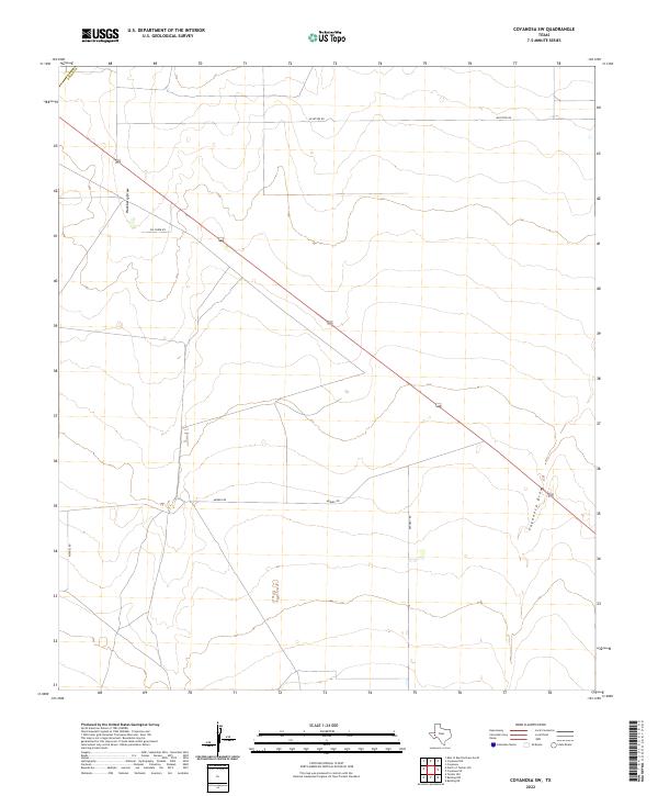
2022 Map of Coyanosa SW
USGS Topo · Published 2022About this map
Hackberry Draw and Coyanosa Draw carve through this landscape in Pecos County, defining the natural drainage patterns of this arid terrain. The land is organized by a sparse network of ranch and access roads, including Mcintyre Rd and Mendel Rd, reflecting the long-established pastoral and oil-field infrastructure of the region. The map illustrates a transitional environment where seasonal watercourses dictate the placement of local thoroughfares like Pig Creek Rd and Kennedy Rd. These features indicate a pattern of large-scale land use where transportation is strictly utilitarian, connecting remote points across the Pecos drainage basin.
Find a feature on this map
7 named features on this map. Tap any name to fly to it.
Don’t see what you’re looking for? This feature index may not catch every label — zoom into the map to look around manually.
Map Details
Editions of this 2022 Coyanosa SW Map
This is the sole edition of this map. No revisions or reprints were ever made.
Other maps of this area

1929 · Hovey
USGS Topo · 1:125,000

1931 · Barstow
USGS Topo · 1:125,000

1954 · Pecos
USGS Topo · 1:250,000

1954 · Fort Stockton
USGS Topo · 1:250,000

1957 · Pecos
USGS Topo · 1:250,000

1958 · Fort Stockton
USGS Topo · 1:250,000

1970 · Tucker Hill
USGS Topo · 1:24,000

1970 · Belding NW
USGS Topo · 1:24,000
1970 · Barstow 3 SE
USGS Topo · 1:24,000

1970 · Barstow 3 NE
USGS Topo · 1:24,000