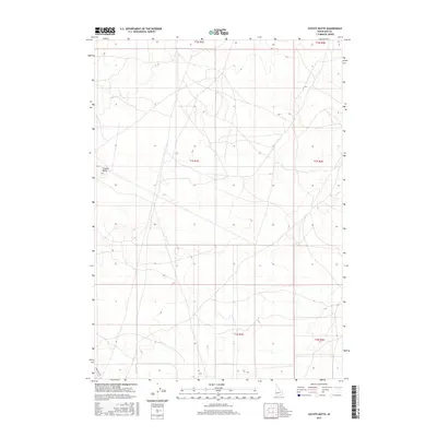
2017 Map of Coyote Butte
USGS Topo · Published 2017About this map
Coyote Butte rises as a prominent landmark in this segment of the Idaho desert, situated south of the state capital. The landscape is defined by the rigid grid of the Public Land Survey System, spanning townships t1n r1e, t1n r2e, t1s r1e, t1s r2e, t2s r1e, and t2s r2e. Apart from the diagonal track of Swan Falls Rd in the southwestern corner, the map reveals a largely undeveloped expanse of public lands. This 2017 survey reflects the enduring character of the high desert terrain, where historical land divisions continue to govern the territory even as modern infrastructure remains sparse.
Find a feature on this map
8 named features on this map. Tap any name to fly to it.
Don’t see what you’re looking for? This feature index may not catch every label — zoom into the map to look around manually.
Map Details
Editions of this 2017 Coyote Butte Map
This is the sole edition of this map. No revisions or reprints were ever made.
Other maps of this area

1892 · Bisuka
USGS Topo · 1:125,000

1894 · Bisuka
USGS Topo · 1:125,000

1947 · Wild Horse Butte
USGS Topo · 1:24,000

1948 · Big Foot Butte
USGS Topo · 1:24,000

1948 · Wild Horse Butte
USGS Topo · 1:24,000

1948 · Big Foot Butte
USGS Topo · 1:62,500

1948 · Sinker Butte
USGS Topo · 1:24,000

1949 · Sinker Butte
USGS Topo · 1:24,000

1949 · Oreana
USGS Topo · 1:62,500

1955 · Christmas Mtn
USGS Topo · 1:24,000