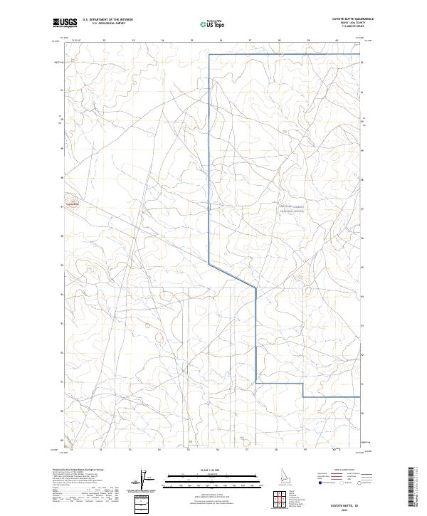
2023 Map of Coyote Butte
USGS Topo · Published 2023About this map
Orchard Combat Training Center occupies a significant portion of this high desert terrain in southern Ada County, reflecting the area's modern role as a specialized military landscape. The map centers on the isolated volcanic landmark of Coyote Butte, which rises above a vast expanse of open range defined by a sparse network of service tracks and section lines. Modern infrastructure is limited to the southwest corner, where Swan Falls Rd provides access through the arid plains. The presence of the training center illustrates the strategic use of this Idaho plateau for defense operations, preserving a landscape largely devoid of traditional residential settlement or commercial development. This 2023 survey by the U.S. Geological Survey documents the boundary divisions between township ranges including t1s r1e, t1s r2e, and t2s r1e.
Find a feature on this map
9 named features on this map. Tap any name to fly to it.
Don’t see what you’re looking for? This feature index may not catch every label — zoom into the map to look around manually.
Map Details
Editions of this 2023 Coyote Butte Map
This is the sole edition of this map. No revisions or reprints were ever made.
Other maps of this area

1892 · Bisuka
USGS Topo · 1:125,000

1894 · Bisuka
USGS Topo · 1:125,000

1947 · Wild Horse Butte
USGS Topo · 1:24,000

1948 · Big Foot Butte
USGS Topo · 1:24,000

1948 · Wild Horse Butte
USGS Topo · 1:24,000

1948 · Big Foot Butte
USGS Topo · 1:62,500

1948 · Sinker Butte
USGS Topo · 1:24,000

1949 · Sinker Butte
USGS Topo · 1:24,000

1949 · Oreana
USGS Topo · 1:62,500

1955 · Christmas Mtn
USGS Topo · 1:24,000