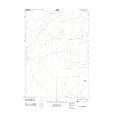
2012 Map of Coyote Springs
USGS Topo · Published 2012About this map
Coyote Springs and several other groundwater sources anchor this arid landscape in Fremont County during the early 21st century. The map reveals a remote network of unpaved tracks, including Black Rock Rd and Diamond Springs Rd, which traverse the high desert terrain. These routes likely support the region's ranching or mineral interests, as evidenced by Ore Rd in the western section.
Find a feature on this map
10 named features on this map. Tap any name to fly to it.
Don’t see what you’re looking for? This feature index may not catch every label — zoom into the map to look around manually.
Map Details
Editions of this 2012 Coyote Springs Map
This is the sole edition of this map. No revisions or reprints were ever made.
Other maps of this area

1951 · Stampede Meadow
USGS Topo · 1:24,000

1951 · Black Rock Gap
USGS Topo · 1:24,000

1951 · Lankin Dome
USGS Topo · 1:24,000

1952 · Muskrat Basin
USGS Topo · 1:24,000

1952 · Rongis Reservoir SE
USGS Topo · 1:24,000

1952 · Gas Hills
USGS Topo · 1:24,000

1952 · Puddle Springs
USGS Topo · 1:24,000

1952 · Coyote Springs
USGS Topo · 1:24,000

1952 · Mc Intosh Meadows
USGS Topo · 1:24,000

1955 · Casper
USGS Topo · 1:250,000